UNMANNED AERIAL VEHICLES (UAVs)
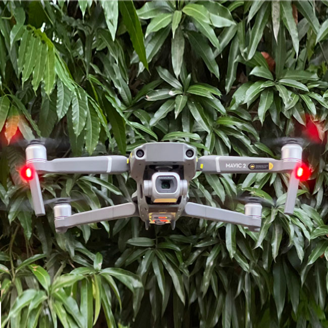
A UAV survey refers to the use of a drone to capture aerial data with downward-facing sensors. During a drone survey with an RGB camera, the ground is photographed several times from different angles, and each image is tagged with coordinates. ESC conducts Aerial Surveys mostly for land developers for purposes of reconnaissance as well as agricultural landowners for production monitoring.